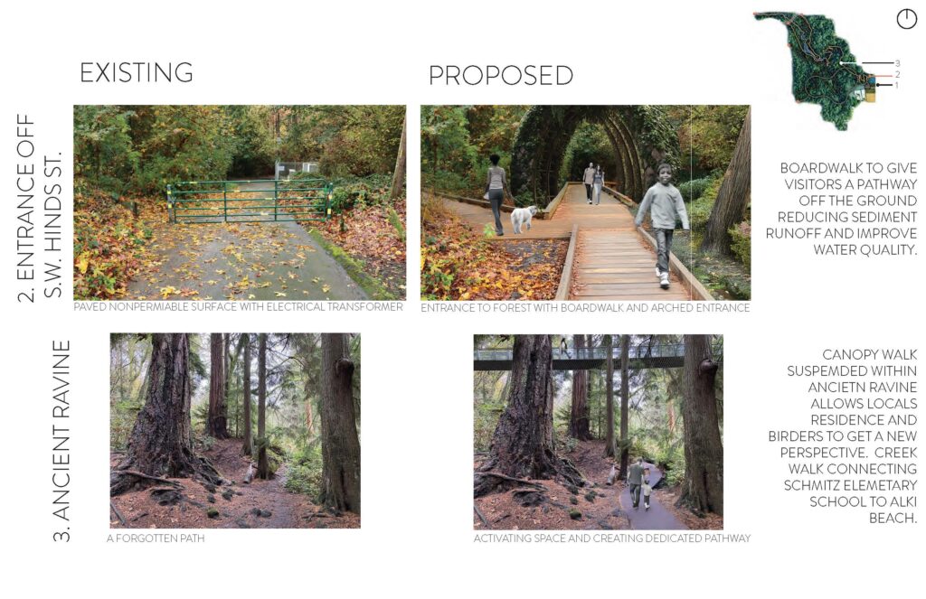
The University of Washington’s Master of Landscape Architecture advanced studio has embarked on a visionary partnership with Schmitz Park Creek Restore, a grassroots initiative dedicated to reconnecting Schmitz Park’s ancient forest with the waters of Puget Sound. This partnership challenges students to explore the unique identity of landscapes, fostering designs that celebrate and revive the wild within Seattle’s urban fabric.
Course Instructor
Course Date
Autumn 2024
Course Type
Landscape Architecture Advanced Studio
Course Description
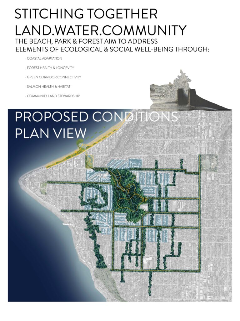
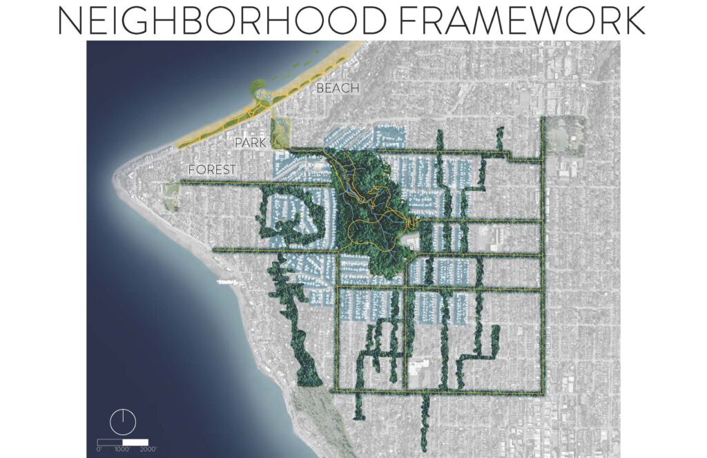
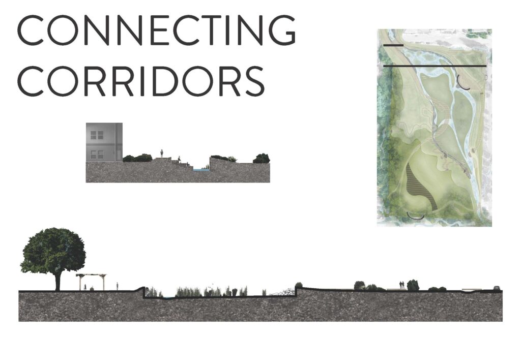
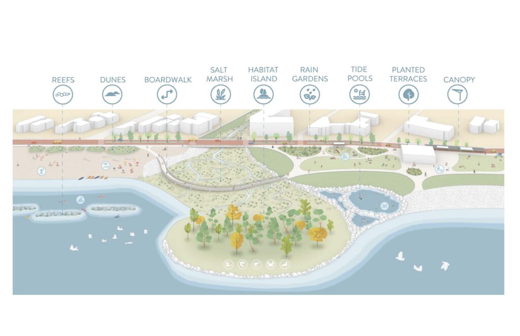
Led by Seattle-based landscape architect Paul Peters, a principal at Hood Design Studio and UW lecturer, the studio immerses students in an in-depth exploration of Schmitz Park’s ecological, historical, and cultural narratives. Working in teams, the students aim to develop designs that restore the connection between Schmitz Park’s 53-acre old-growth forest and Alki Beach. Schmitz Park, historically stewarded by the Duwamish Tribe and donated to Seattle Parks in 1908, remains one of the city’s last remaining wild areas, yet its creek disappears underground before it reaches Elliott Bay. The students envision restoring the creek’s natural flow, creating a continuous “wild corridor”.
The UW students’ conceptual designs draw inspiration from Schmitz Park Creek Restore, a citizen-led effort in West Seattle, which seeks to restore Schmitz Park’s creek and daylight its natural flow. This vision was introduced to the public in May 2024 at a gathering hosted by photographer Art Wolfe, where members of Seattle’s Duwamish Tribe, Schmitz family representatives, and park restoration advocates came together to support the initiative. The enthusiastic reception led Peters to bring the project to his graduate students, making it the focus of their Autumn 2024 studio titled “Where the Wild Things Are.”
FOREST
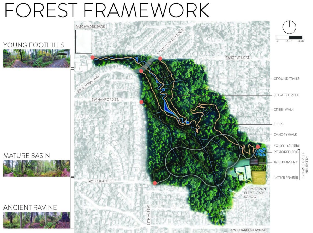
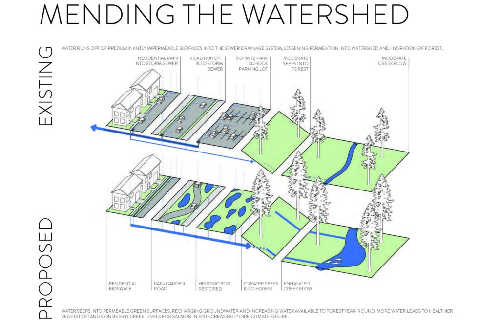
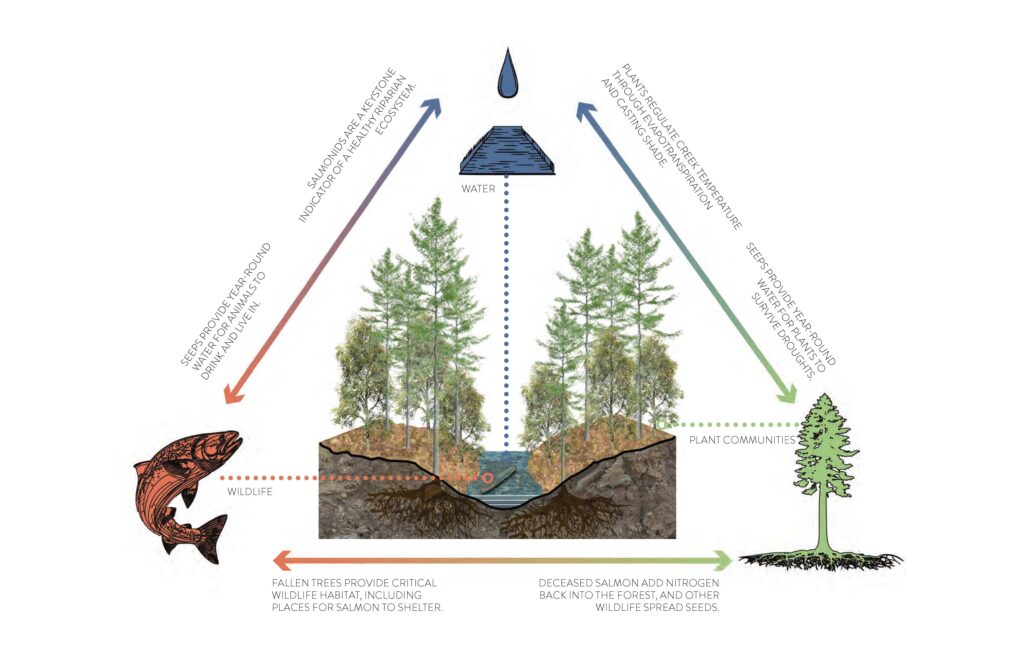
The Schmitz Creek forest has endured many cycles of disruption, including widespread logging of the surrounding area and neighborhood development. The next challenge will be to withstand the uncertain future brought about by climate change. The forest persists because of the creek fed by year-round seeps rather than surface flows. The seeps act like a saturated sponge–a subterranean layer of groundwater dripping steadily to replenish the creek. The increase in paved surfaces in the neighborhood surrounding the creek has reduced the amount of rainwater supplying the seeps.
PARK
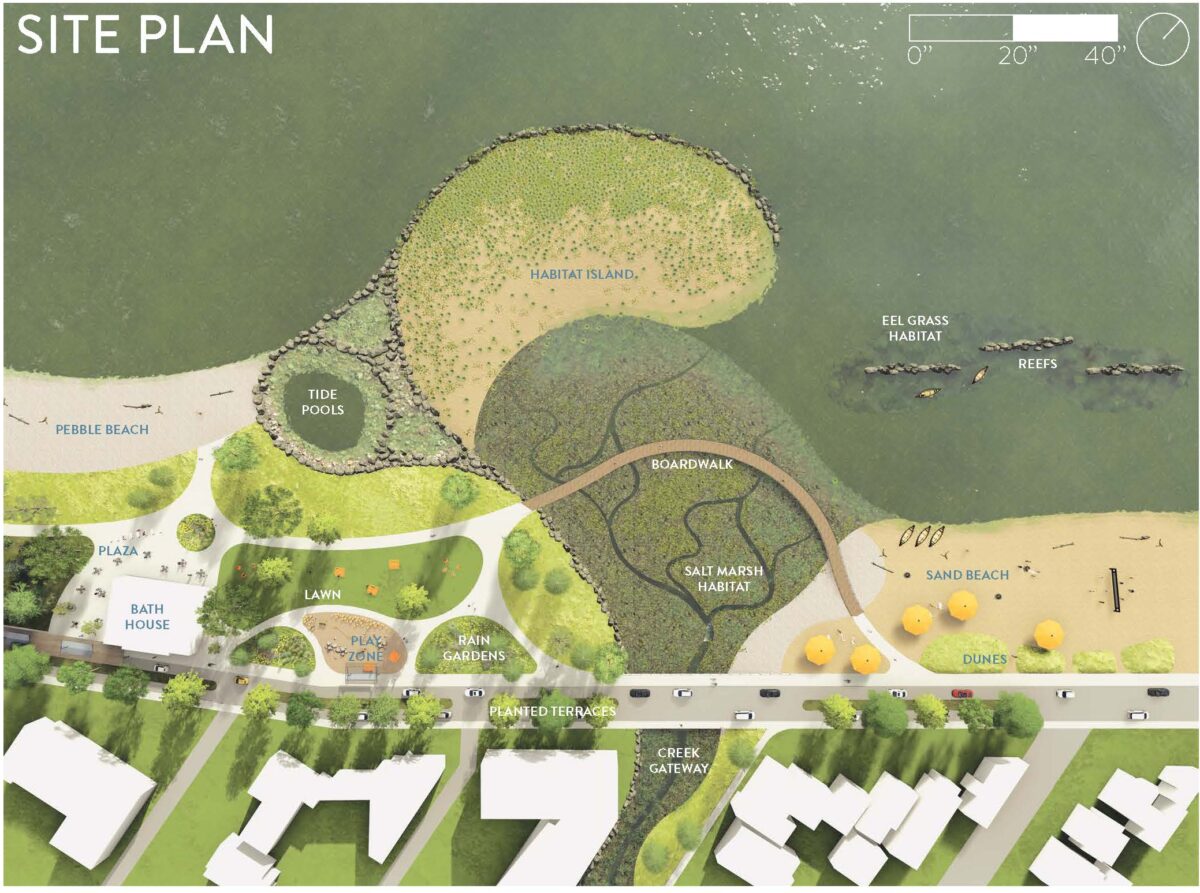
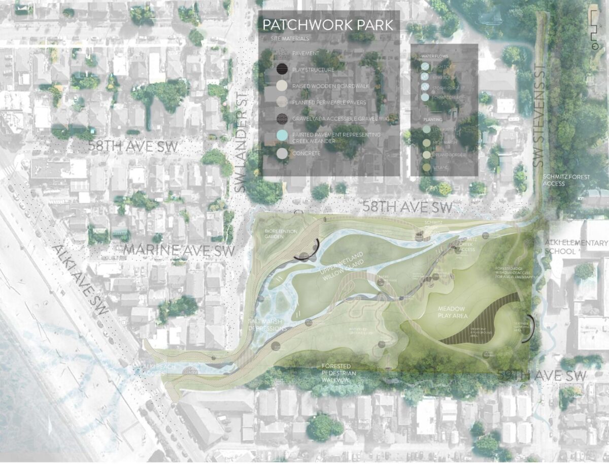
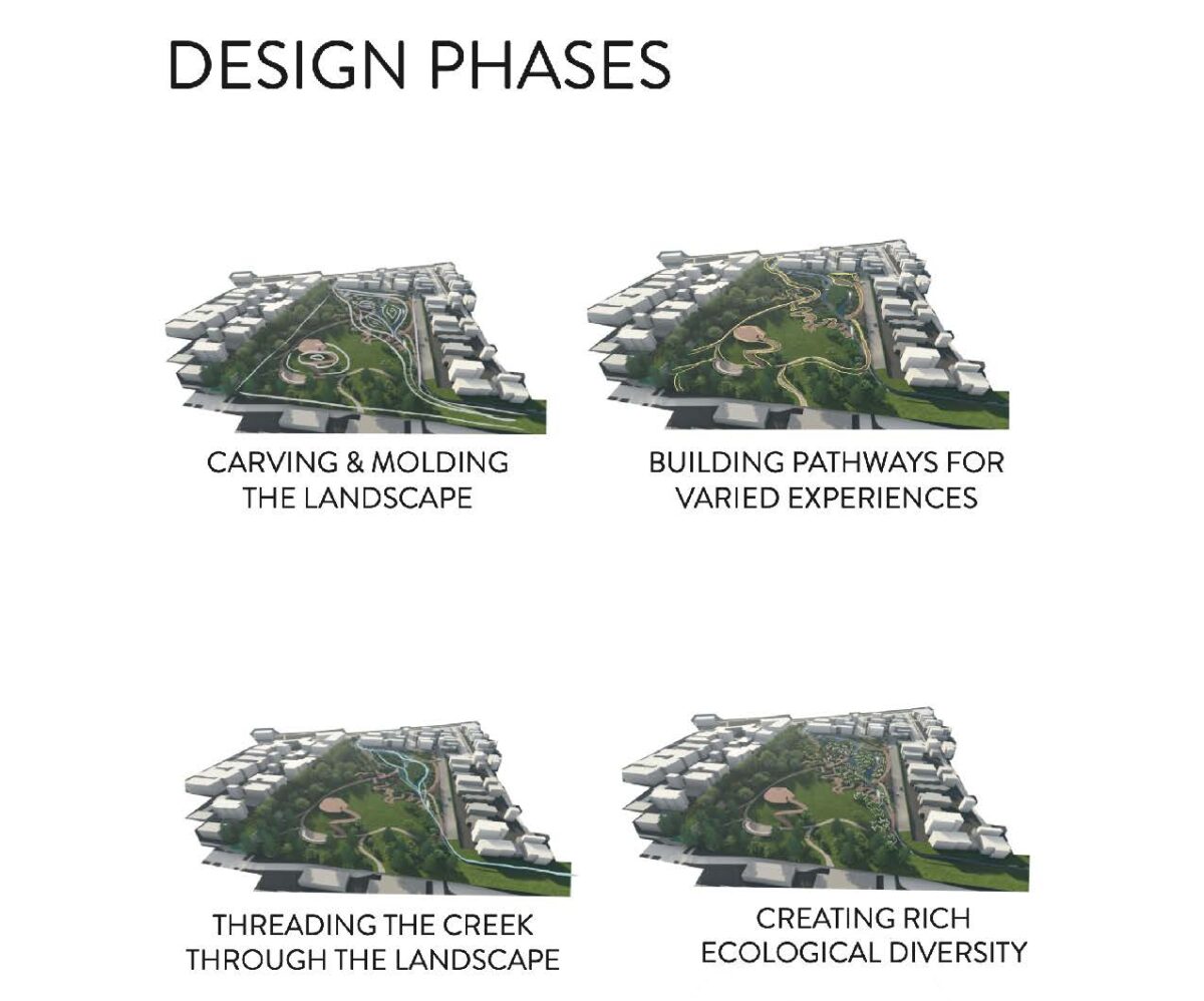
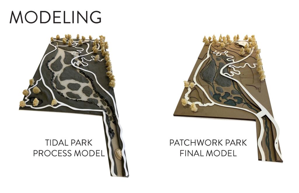
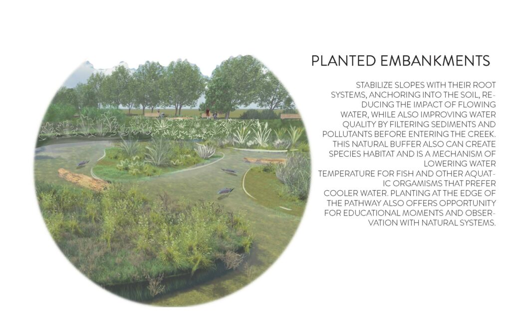
Patchwork park, through the daylighting of Schmitz Creek, aims to:
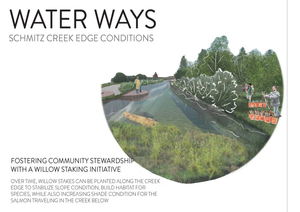
- Create a pathway for salmon and establish rich habitat for them to move through
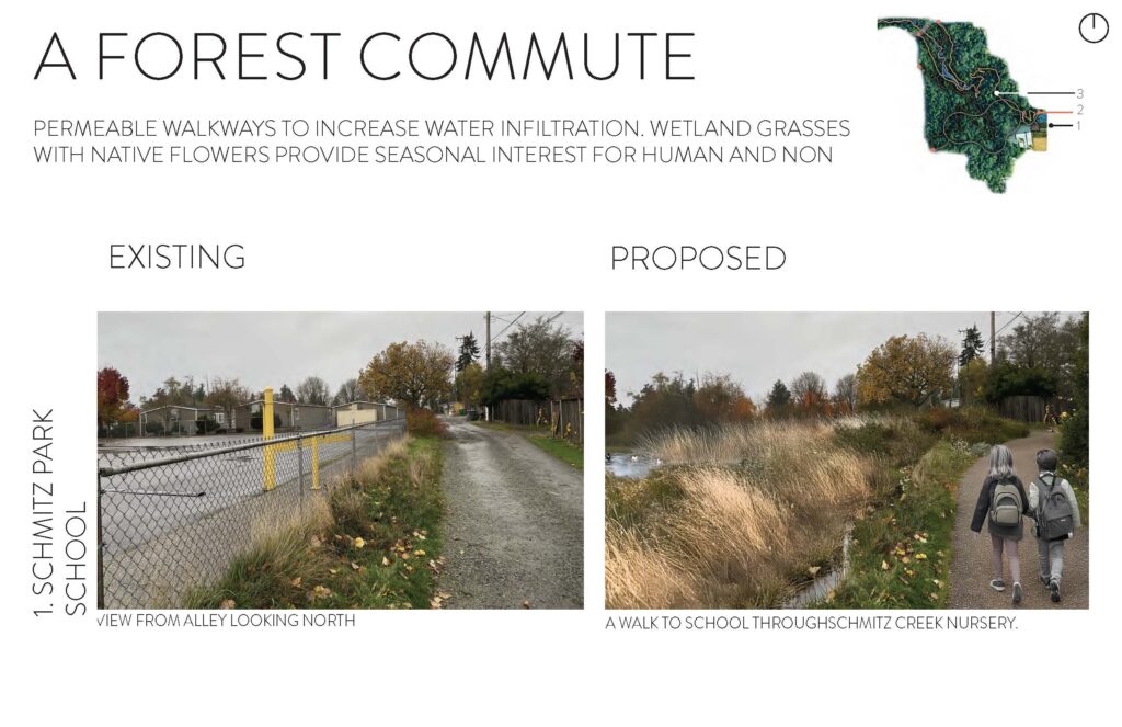
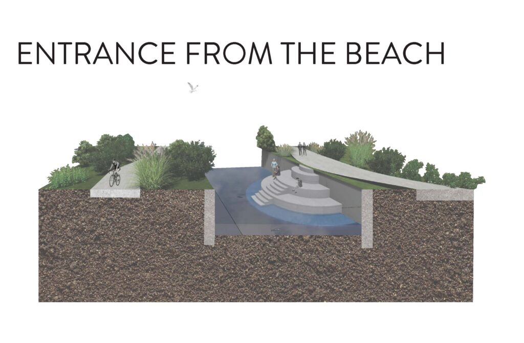
- Connect the forest to the beach for both human and non-human species
- Honor the history of the land as sacred ground
- Foster community stewardship with the neighborhood
- Create educational and play opportunities for Alki Elementary
BEACH
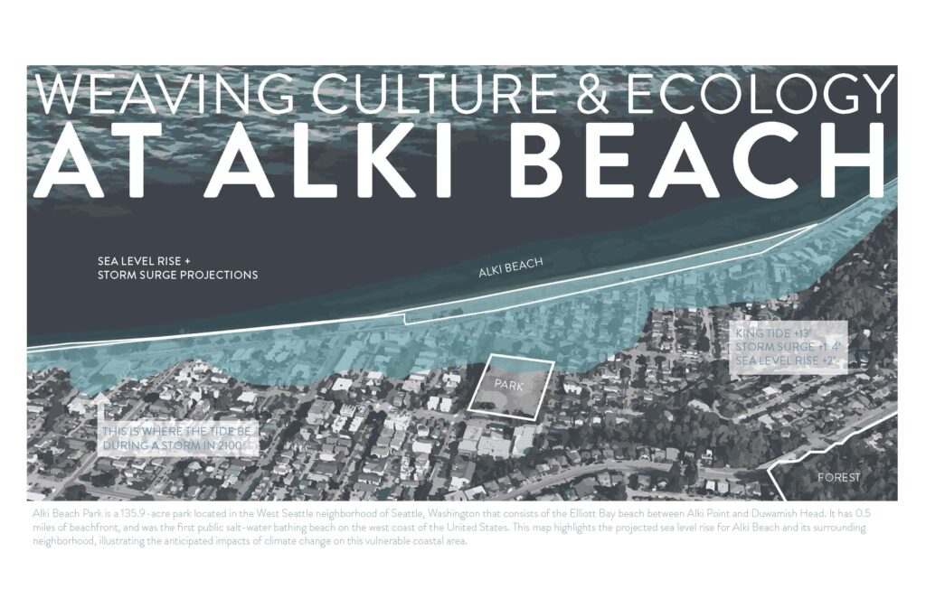
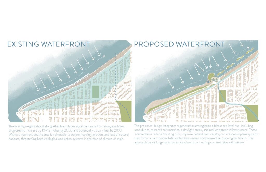
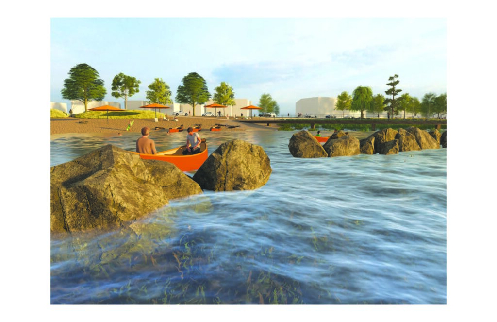
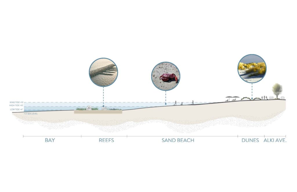
Alki Beach Park is a 135.9-acre park located in the West Seattle neighborhood of Seattle, Washington that consists of the Elliott Bay beach between Alki Point and Duwamish Head. It has 0.5 miles of beachfront, and was the first public salt-water bathing beach on the west coast of the United States. This map highlights the projected sea level rise for Alki Beach and its surrounding neighborhood, illustrating the anticipated impacts of climate change on this vulnerable coastal area.